Accedi
Tutte le risorse
Creare un design
Tools
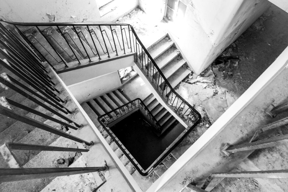
4.950 Immagini gratuite per Le Scale
architettura
storico
vecchio
scala
edificio
urbano
pietre
prospettiva
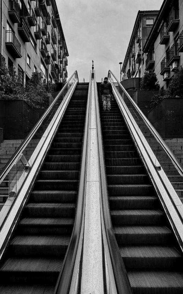
bianco e nero
viaggio
emergenza
muro
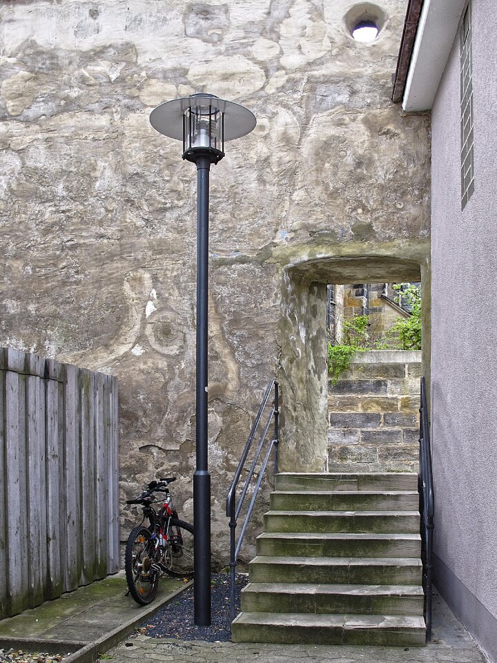
architettura
edificio
edificio
pietre
architettura
viaggio
paesaggio
natura
edificio
viaggio
architettura
metallo
albero
legno
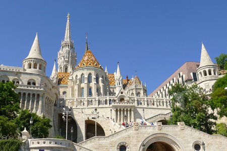
architettura
metallo
architettura
nero
architettura
città
paesaggio
albero
animali
gatto
architettura
stazione
viaggio
natura
edificio
nudo
architettura
luce
acqua
mare
maschio
persone
maschio
persone
ufficiale
luce
ritratto
edificio
pietre
architettura
metallo
architettura
edificio
monumenti
edificio
foresta
pietre
albero
luce
modello
sfondo
architettura
modello
persone
città
bandiera
città
maschio
persone
edificio
metallo
edificio
cina
inverno
neve
architettura
edificio
viaggio
città
architettura
pietre
viaggio
città
ornamenti
storia
monumenti
edificio
viaggio
storia
architettura
viaggio
architettura
scultura
edificio
stampa
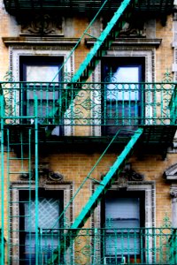
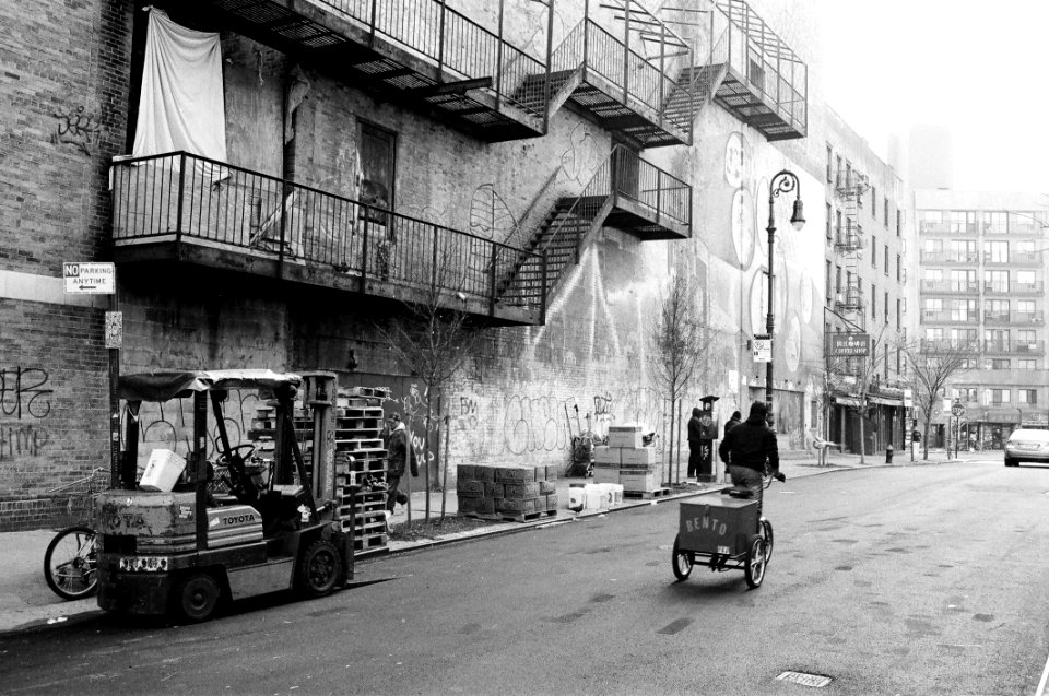
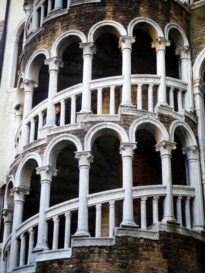
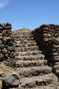
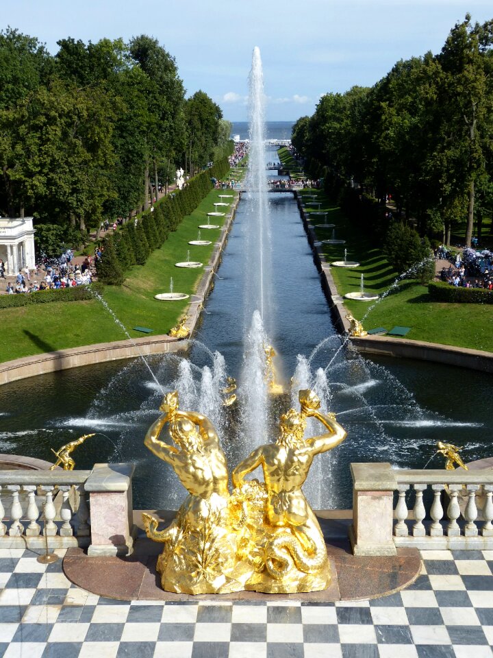
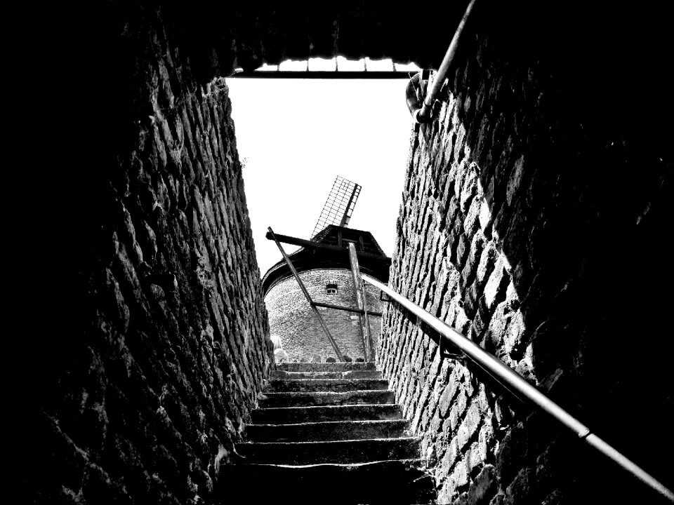
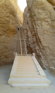
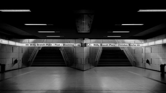
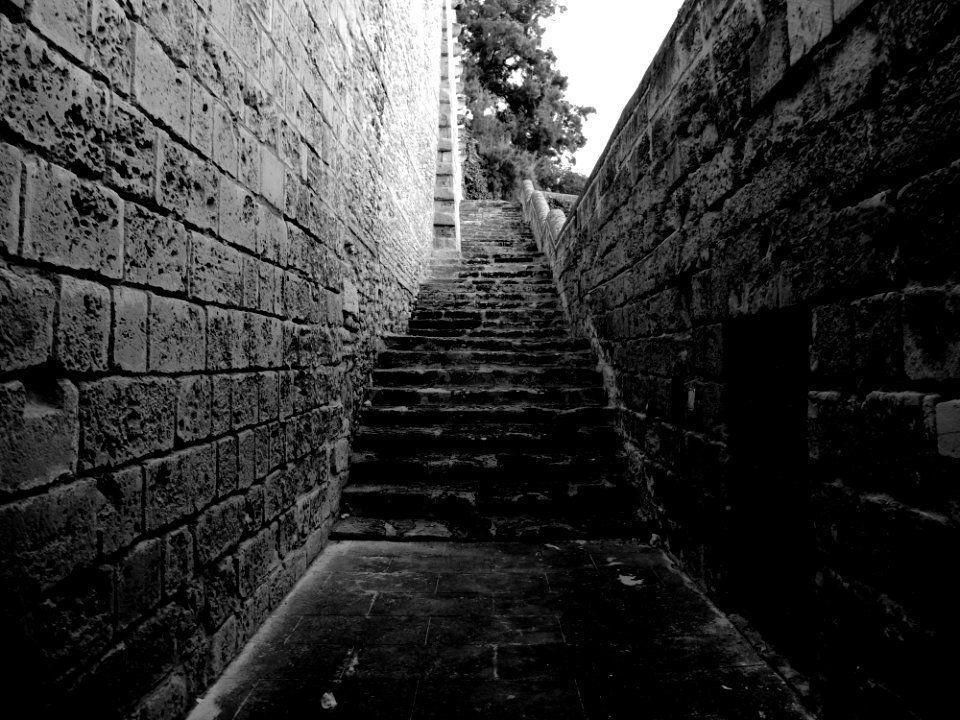
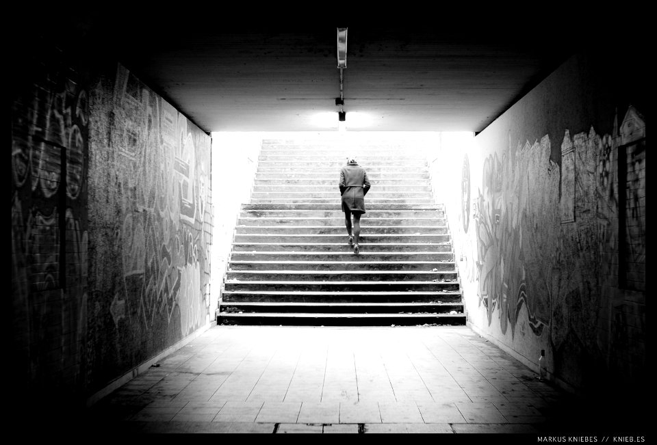
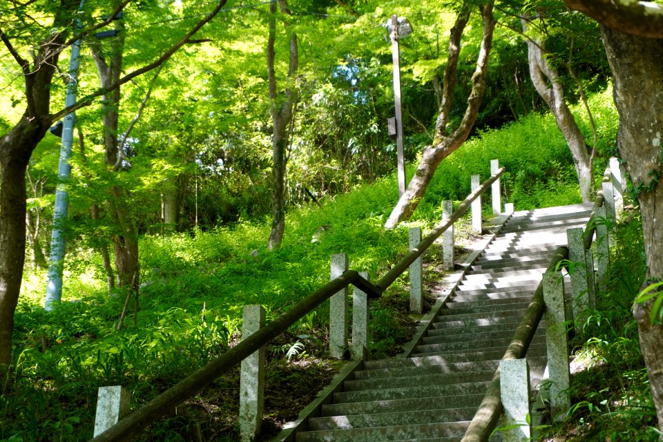
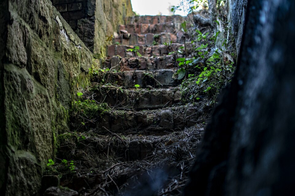
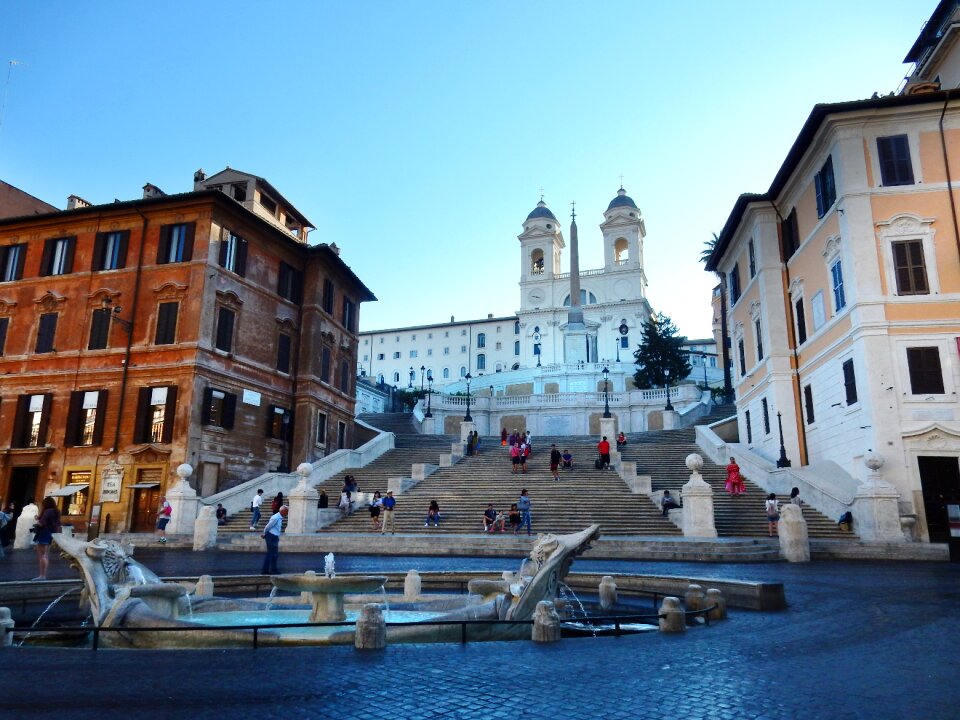
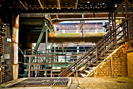
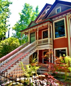
le scale
natura
le scale
natura
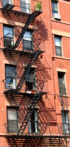
stati uniti d'america
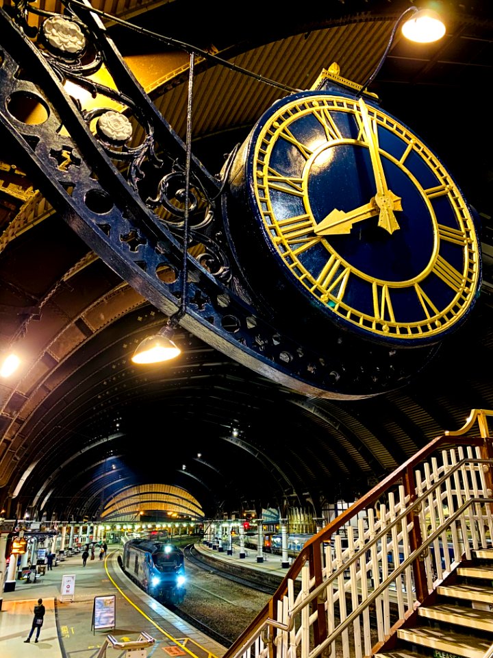
edificio
orologio
città
new york
città
albero
città
architettura
edificio
pietre
acqua
monumenti
pietre
ornamenti
edificio
paesaggio
roccia
pietre
storia
architettura
casa
medievale
pietre
scultura
giungla
viaggio
pietre
edificio
viaggio
scultura
oro
monumenti
edificio
4501 - 4600 di 4.950
Pagina successiva
/ 50


![Abla de Gratia / [Ferrando Bertelli], Ferrando Bertelli, 1568](https://cdn.creazilla.com/illustrations/10001599324/abla-de-grace-ferrando-bertelli-ferrando-bertelli-1568-sm.jpg)


![Plan, [on a large scale,] of the main facades and rooms, with reference numbers corresponding to those of the plates representing each bas-relief., 1849](https://cdn.creazilla.com/illustrations/10000856331/plan-on-a-large-scale-of-the-main-facades-and-rooms-with-reference-numbers-corresponding-to-those-of-the-plates-representing-each-bas-relief-1849-md.jpg)


![Map of communications in the North of France and part of Belgium including all railways, roads, canals and navigable rivers / executed and published F[éli]x Robaut, ..., Félix Robaut, 1843](https://cdn.creazilla.com/illustrations/10000462604/map-of-communications-in-the-north-of-france-and-part-of-belgium-including-all-railways-roads-canals-and-navigable-rivers-executed-and-published-f-li-x-robaut-f-lix-robaut-1843-sm.jpg)


![Takahashi Shōtei – Tokumochi (The Moon and Flowers in Snow) [from Shotei (Hiroaki) Takahashi: His Life and Works]](https://cdn.creazilla.com/illustrations/7773608/takahashi-shotei-tokumochi-the-moon-and-flowers-in-snow-from-shotei-hiroaki-taka-sm.jpeg)